The 2024 Great Lakes GeoSymposium
The 13th annual GeoSymposium (formerly the Northeast Ohio GIS Symposium) brought together GIS professionals, public agencies, educators, students, and industry leaders for a full day of virtual learning, collaboration, and innovation. Hosted online, the symposium provided attendees from across Ohio and beyond the opportunity to participate in an engaging program without the constraints of travel, while continuing the long-standing tradition of sharing knowledge within the regional geospatial community.
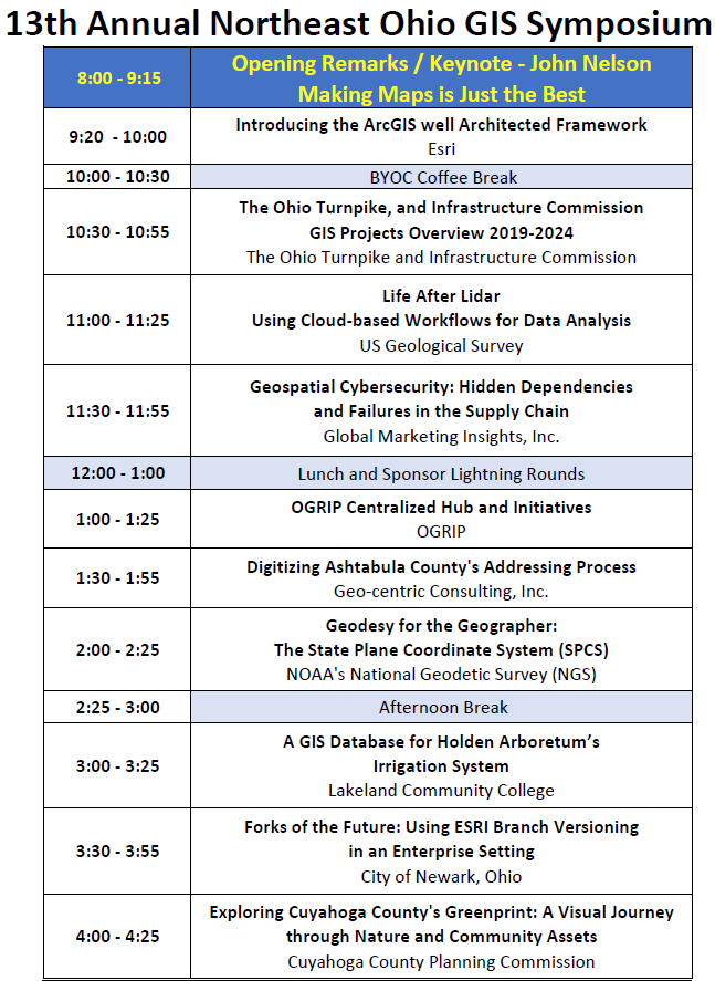
The 2024 program showcased the remarkable breadth of today's geospatial profession. Presentations explored emerging technologies, practical applications, and real-world success stories from government, academia, and the private sector. Attendees learned about Esri's ArcGIS Well-Architected Framework, infrastructure GIS initiatives from the Ohio Turnpike and Infrastructure Commission, cloud-based LiDAR analysis by the U.S. Geological Survey, cybersecurity considerations affecting geospatial systems, and the latest developments in the National Geodetic Survey's modernization of the National Spatial Reference System. Technical sessions also highlighted innovative local projects, including digitizing Ashtabula County's addressing process, developing GIS databases for irrigation management, and managing enterprise geodatabases using modern versioning techniques.
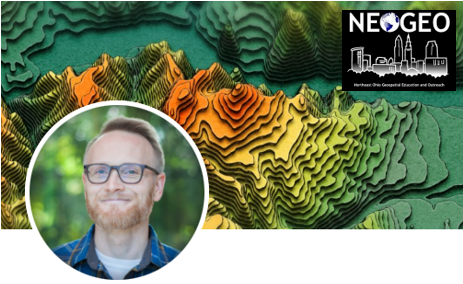
The symposium's keynote presentation, "Making Maps Is Just the Best," delivered by renowned cartographer John Nelson of Esri, set an inspiring tone for the day by celebrating the creativity, artistry, and impact of modern cartography.
Although conducted virtually, the 2024 symposium successfully fostered the collaboration and professional development that have become hallmarks of the Northeast Ohio GIS Symposium. By combining nationally recognized speakers with regional success stories and practical technical presentations, the event continued its mission to advance geospatial education, encourage innovation, and strengthen connections among GIS professionals throughout Northeast Ohio and beyond. The symposium demonstrated that even in a virtual environment, the exchange of ideas, expertise, and enthusiasm for geospatial technology remains as vibrant as ever.
Thank you to our Sponsors!